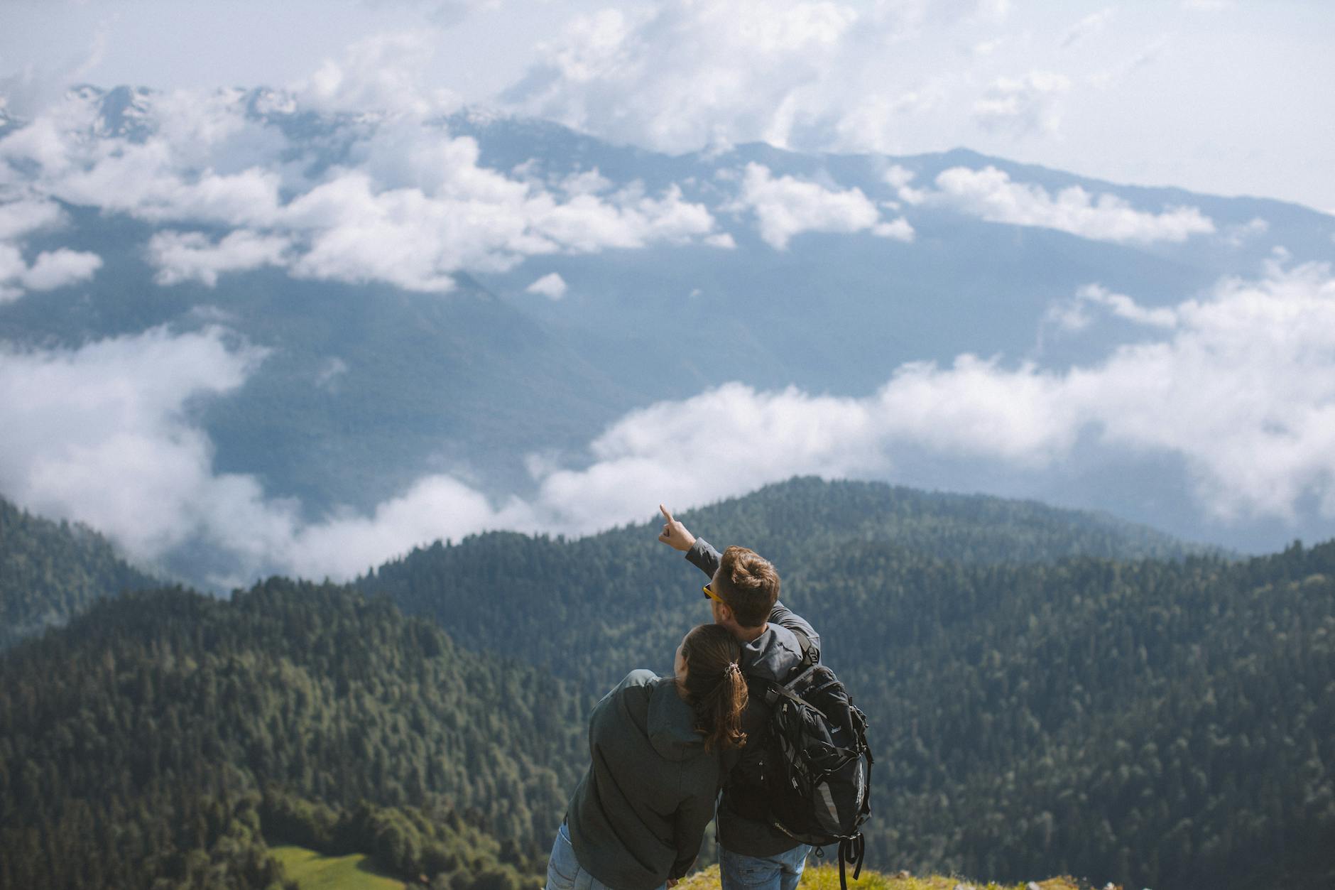
Photo by Yaroslav Shuraev on Pexels
An innovative technique is circulating online, demonstrating how to convert low-resolution Google Earth screenshots into stunning, drone-like cinematic shots using the power of artificial intelligence. A Reddit user shared their workflow, which utilizes the RealEarth-Kontext LoRA model, alongside tools like Flux Kontext for enhancing details. The process also involves AI-powered upscaling to boost resolution and animation software such as Veo 3 or Kling2.1 to bring the images to life. A comprehensive YouTube tutorial is available for those seeking to replicate this impressive transformation. The original Reddit post details the entire process: [https://old.reddit.com/r/artificial/comments/1mf7ui9/turning_lowres_google_earth_screenshots_into/]
